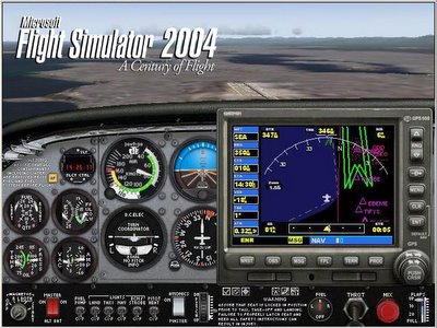
My first encounter with a Garmin GPS was in a computer
 A basic GPS handheld with no mapping functionality, the 'yellow' eTrex is a solid product. Here's a picture I took on 11 Feb, 2006 at 9:17 (GMT 01:17).
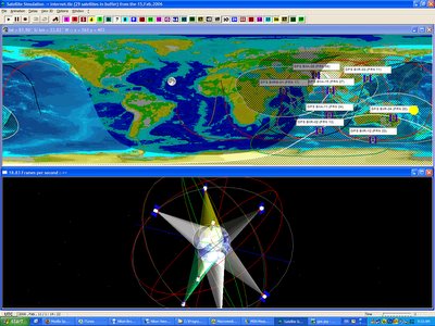
 Here's a wonderful GPS tracking software called... uh... GPS. It shows the movement of the various satellites at any date and time. You can see that the satellite numbers correspond with that seen in real life!
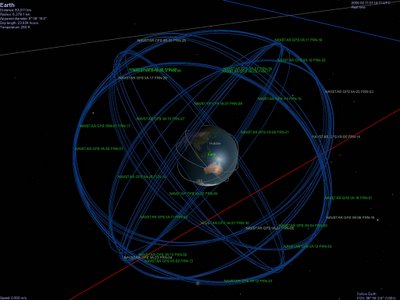
 I wanted to install the orbital information of the GPS satellite constellation in the Celestia space simulator, but there wasn't any on the Motherload, so I decided to make an addon myself. You can now download it here.
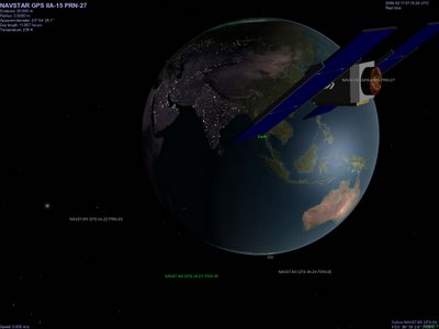
 No. 27 satellite (model not mine) beaming information to me.
 So essentially, the receiver is a navigation device. You can set a waypoint, and return to that point easily. As long as the sky isn't obstructed by buildings or lots of trees, you won't get lost. It can also be used for tracking running routes; Garmin has a few models of these sorts of GPS 'watches' like the Forerunner 205. Anyway, last night I went jogging , and here's my route.
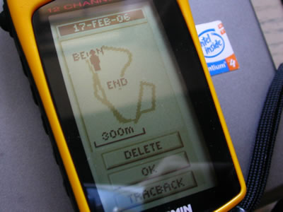 Nice stuff! And to think it was initially designed (and is still used) for the military in the 1970s. The 1983 horrific downing of Korean Air Flight 007 by Soviet fighters prompted President Reagan to open up the technology (costing US taxpayers USD 15 billion by last count) to civilian users worldwide, free of charge.
Here's a cute animation of the startup screen, courtesy of the US Patent Office.
No comments:
Post a Comment